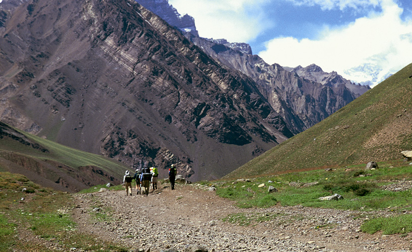
The Andes range presents two well defined areas. To the north of the mountains the steppe presents a continental landscape, while to the south hillsides fall into the sea in a typical Fuegian frame.
Discovered by Ferdinand Magellan in 1520 while searching for the inter-oceanic pass today named after him and crossed during the following centuries by adventurers of all kinds seeking for sea wolves, whales and gold, the socio-economic profile of the island was later marked by shepperding and tourism.
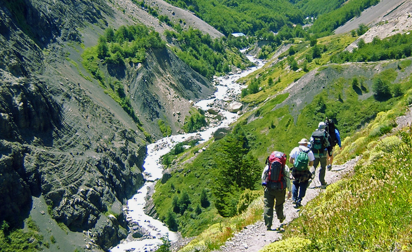
Hiking and cross country ski are some of the exclusive activities practised in this vast geography. Lenga forests with their ocher tones, peat bogs, enormous lakes and transversal valleys on the edge of the continent are some of the good reasons to dare running the adventure.
Many of these mountains have not yet been travelled by man. The importance of Tierra del Fuego National Park lies in keeping the pristine condition of nature, only altered by beavers, which, introduced from Canada five decades ago, have occupied 90 % of water courses in the region and provoked a substantial alteration in the island´s environment.
We highly recommend you cross the Andes in a north south direction from the steppe to the mountains while joining the cities of Río Grande and Ushuaia.
In the valley of Tierra Mayor you can alternate some hiking circuits with other deep sensations. They are 212 km., 124 paved, and the rest debris in a delicate condition.
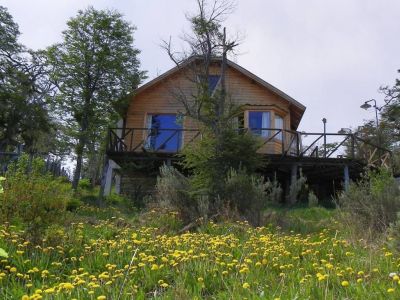
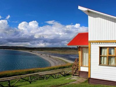
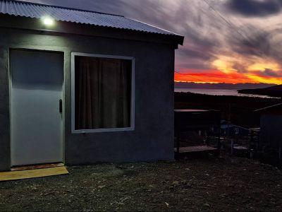
The history of the last ona reserve mingles with an umpolluted landscape and a special climate, what makes it a favorite weekend option if you are fond of fishing, horse-riding or nautic activities.
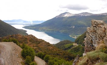
Lake Fagnano, distant 120 km., is a 100 km. long basin where the west wind is an absolute protagonist and sea birds such as albatrosses, kelp geese and petrels are abundant.
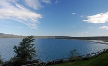
Lake Escondido is in km. 161, a priviledged region where the action of beavers is notorious, mainly on the coasts where they build dams, the forest is flooded, the water level altered, the vegetation dies and the whole ecosystem is changed.
A little farther is Luis Garibaldi Pass, the highest point with a mirador to the lake.
The circuit then gets into dense forests on the hillsides in the middle of glacier valleys covered by aconglomerate of mosses called peat bog.
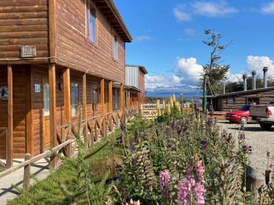
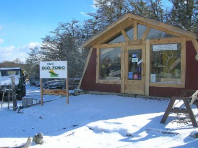
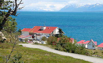
Finally the route passes by a number of ski resorts, cafeterias and shelters like Haruween, Las Cotorras, Tierra Mayor, Nunatak, Solar del Bosque, Faldeo del Olivia and Valley of the Huskies, where you can go on a sleigh ride pulled by some Siberian dogs.
In km. 209 you will pass by the base of Monte Olivia, a real emblem of the city, to arrive to Ushuaia city in km. 220.
HIKING IN THE VALLEYS AND TIERRA DEL FUEGO NATIONAL PARK.
Although the Andes range is lower here than in the rest of the continent, it presents some really attractive shapes in the valleys of the Alvear and lake Esmeralda at the height of km. 3021 of national route 3.
94 km. from Tolhuin and 20 km. from Ushuaia there are several trails leaving from the shelters in Solar del Bosque and Tierra Mayor from where you can venture into the heart of the Fuegian range.
During this journey you can gain in a few hours enough height to appreciate the birth of water courses and some spectacular vistas of the valleys and the mountains, mainly of Monte Olivia.
Behind Los Turbales shelter in the valley of Lake Esmeralda, there is good snow for cross country ski.
In the northern range there is a succession of mountains behind Ojo del Albino glacier: Bonete, Alvear, Domo Blanco and Rino. Even though they are scarcely higher than a thousand meters, they dominate the valley.
Beavers are the main characters in this scenery. Since they have no predators, they reproduce in an incredible way and are constantly building dams, what causes many alterations. Nevertheless, there are those who see the positive part of it, since they enlarge the water surface and favor the transit of migratory birds while contributing nutriment to the soil of the island.
This valley extends in fiscal land and trails run through Tierra del Fuego National Park in an environment with sea and rivers.
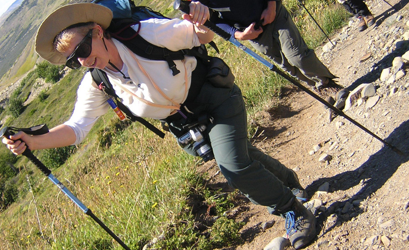
Even when hiking outings include the necessary equipment, you must carry some warm clothes including gloves, a cap, warm comfortable boots, sun glasses, sun screen, a water bottle, and a back pack with a snack, your camera and personal hygiene elements.