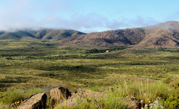
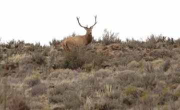
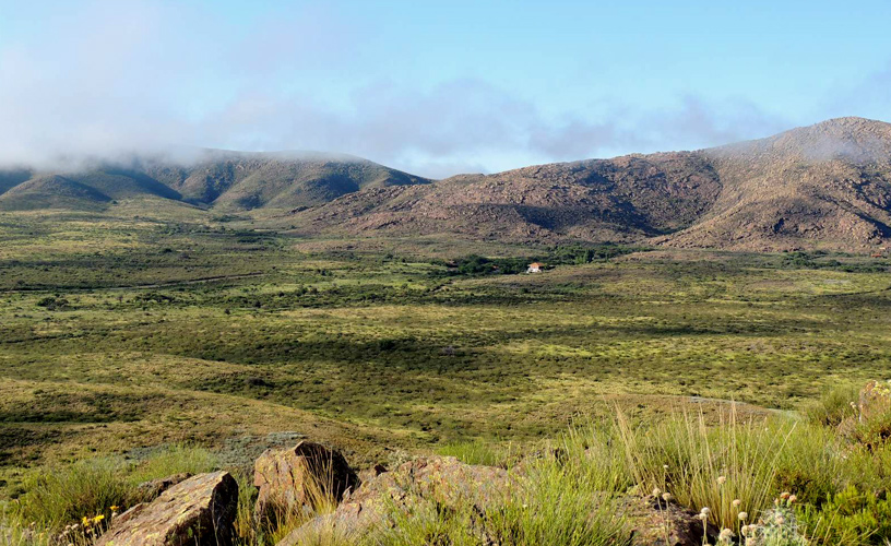
Lihué Calel means ‘mountain range of life’ in the Araucano tongue and it is the name of the mountain range system located in the center-south of the Province of La Pampa, on National Route 152, 120 kilometers southwest of General Acha and 220 kilometers from Santa Rosa. Created in 1977, in comprises an area of 10,934 hectares, with a maximum elevation of 590 meters. The hills are rocky volcanic formations of Precambrian origin that may be visited through authorized paths. Though rainfalls are scarce, the mountain range encourages the accumulation of water and thus there is plentiful wildlife in the area. Cougars, foxes, Patagonian hares, wild cats, viscachas, Pampas cat, ferrets, skunks, red alligators, Argentine black and white tegus, rheas and herds of guanacos are usually spotted in this zone. The area was invaded by wild boar and red deer, which altered the ecosystem in spite of the controls carried out by the National Parks Administration.
Lihué Calel National Park
-
Mountain range of life
-

Center-south of the Province of La Pampa
-

Typical flora
-

32,514 hectares
The typical flora includes caldén and jarillal woodlands where three species are spotted. One of them has experienced a curious adaptation: its leaves are positioned in a north-south direction, which reduces the influence of sunbeams during the hottest times of the day.
Two kilometers beyond the access to the park following the gravel road, there lies the administrative area, where the park ranger office and the restrooms stand.
Activities available include an ascent to the mount called Sociedad Científica (Scientific Society), which reaches a height of 590 meters MSL in order to get a panoramic view of the mountain range system from above. The ascent does not represent a strong hardship and takes about 45 minutes.
![]() Karina Jozami
Karina Jozami
![]() Parques Nacionales - Fotógrafo: F. Moschione
Parques Nacionales - Fotógrafo: F. Moschione