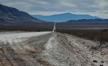
The Nevado de Acay gives origin to a small water thread that turns into a river as it moves along. It drags various names along its course. After 3,000 kilometers, it empties into the Río de la Plata.
Nevado de Acay
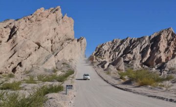
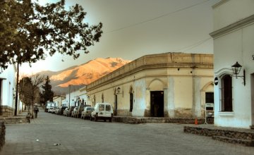
The Nevado de Acay (Acay Snow-capped Mountain) is almost 5,800 meters high above sea level. It starts on the border between the districts of Rosario de Lerma and la Poma, forming the westernmost range of the Western Mountain Chain. It separates two regions, the Puna to the West and the Western Mountain Range to the East.
Its summit is practically covered with snow all year round.
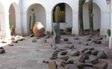
The locals worship this mountain and tell stories and legends about it, which include the existence of fabulous treasures hidden by the Incas and on the verge of being found.
The meltdown and the summer rainfalls increase the volume of the rivers starting at these mountains. One of them will have an eye-catching and almost endless course, whose story is to be told.
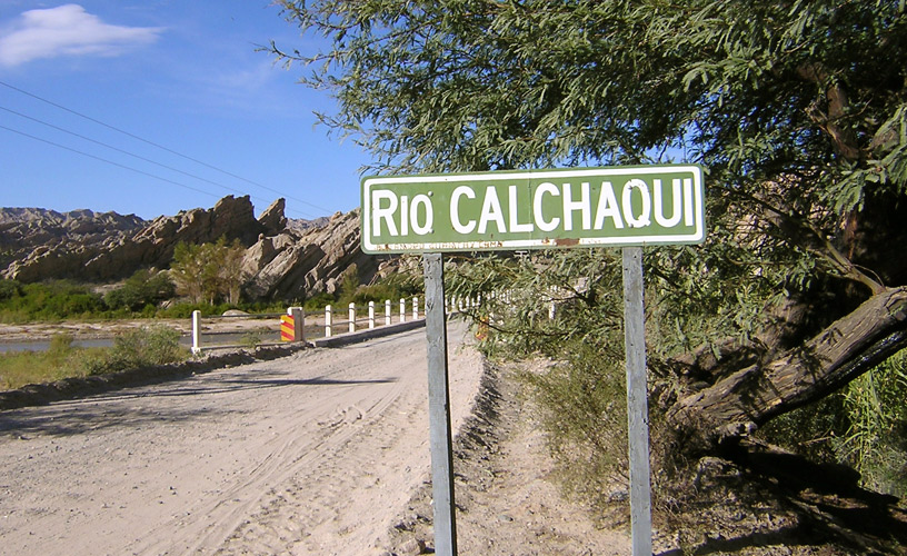
The Calchaquí River
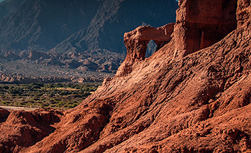
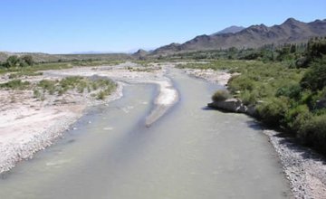
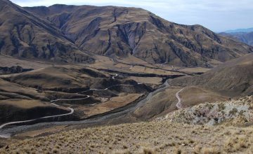
The Calchaquí River source is located in the Nevado de Acay and receives the Lurucatao River on the right and the Tiopampa River downstream. Its main tributary from the left is the Amblayo River.
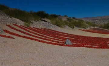
Farther ahead in its course, several rivers of variable volume feed the waters of the Calchaquí. Tributaries coming from the Calchaquí Valleys contribute with their colorful waters. Crystal-clear-water creeks wind down the western hills to enter the Guachipas or Las Conchas Ravine. There, it turns into Las Conchas River until it empties into the General Belgrano Dam, best known as Cabra Corral Dam, located only 80 kilometers from the City of Salta.
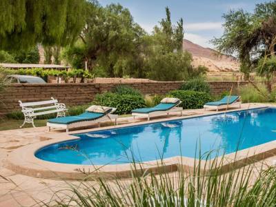
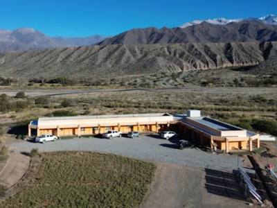
Cabra Corral Dam
In the late 1970s, and after more than one decade, the building of the General Belgrano Dam was completed. It became popular under the name of Cabra Corral (wrong translation into Spanish for “goat yard”).
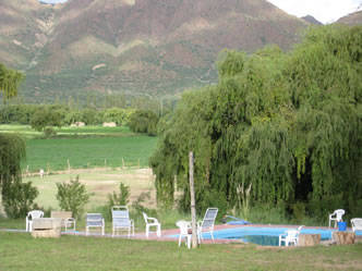
The dam has a Y shape and it occupies a total surface of 120 square kilometers, which teems with pejerreyes of all sizes. Maybe that is the reason why fishing on rafts with lanterns is a great attraction for almost all the locals.
The purpose of this dam was to create a real oasis for the Provinces of Salta and Santiago del Estero, both as regards water supply and the distribution of electrical power.
The dam is 100 meters high which, combined with the local materials used to build it, provide an earthquake structure. Several layers of compacted earth, rock and boulder on the dam side and pebbles on the river side enable this structure to remain. As every dam, it has required the building of other compensating structures in order to regulate the increase in the Juramento River water volume. These are: Miraflores and El Tunal.
The Juramento River
Beside the dam, towards the South, lies the dam spillway, which has the shape of a large slide and starts working when the water reaches its maximum level, approximately 1,000 meters.
The first stretch of the Juramento is ideal for river rafting. The rapids gain and lose intensity according to the opening and closing of the dam gates. The tour along this course is about 10 kilometers long. The first rapids have a moderate difficulty and then they turn into class 2 and 3, which in river rafting language means quite rough. The waters run remarkably fast and it is necessary to get round rocks and granite walls falling into the river and giving the scenery a colorful pattern that seems to have been painted by the hand of an artist.
Afterwards, this water course -also called “passage” in the maps- fees small dams such as El Tunal, an ideal site for fishing pejerreyes. From there, the Juramento starts a labyrinthic course whose main protagonists are the large dorados that have arrived here from the Paraná River basin.
Here, floating on a raft in search for the dorado is one of the main local attractions. This gives life to small villages thrown into oblivion which accompany the river and Provincial Route 16 until it gets into neighboring Santiago del Estero.
The Waters Continue Their Way Down
Who would dare say that this river which starts in the mountains and then goes mad and runs over everything in its way, which gets deep into the core of the Salta rainforest and then finds peace under the name of Dulce River, was nothing but a thin thread of water at the beginning.
Who would dare say that after this pacific and drowsy course across Santiago del Estero, it would adopt a different name and be called Salado del Norte. Then it gets deep into the Province of Santa Fe to finally join its waters with some marshlands at the Paraná River.
The same Paraná that leaves its sediments downstream and gives shape to a delta that seems to have no end, until it comes across the Río de la Plata. “The River with the Color of the Lion”, according to Jorge Luis Borges.