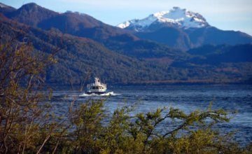
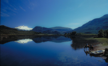
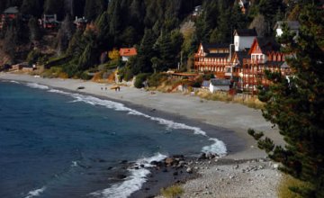
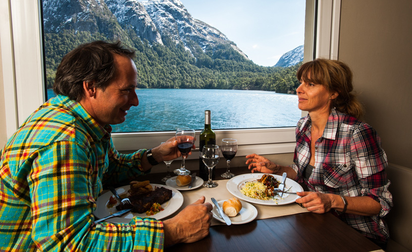
Puerto Blest is like the sceneries of a nice dream: perfectly beautiful, almost unreal.
To reach this charming pier, visitors must leave from
Blest, Dream Harbor
-
A natural corner
-
As the landscapes of a cute dream
-
A splendid environment
-
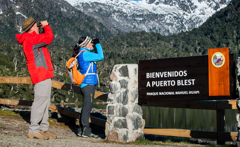
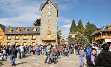
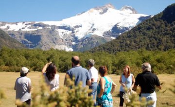
Nahuel Huapi National Park
-
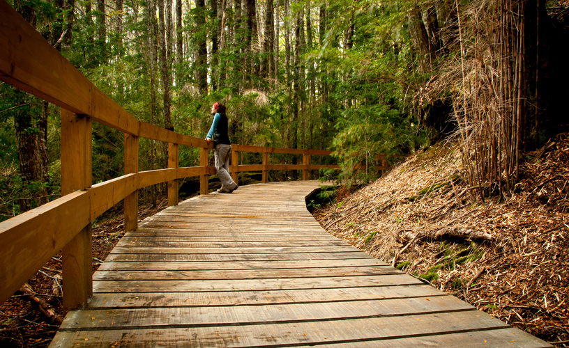
Closed forests of lignum and gigantic larches
-
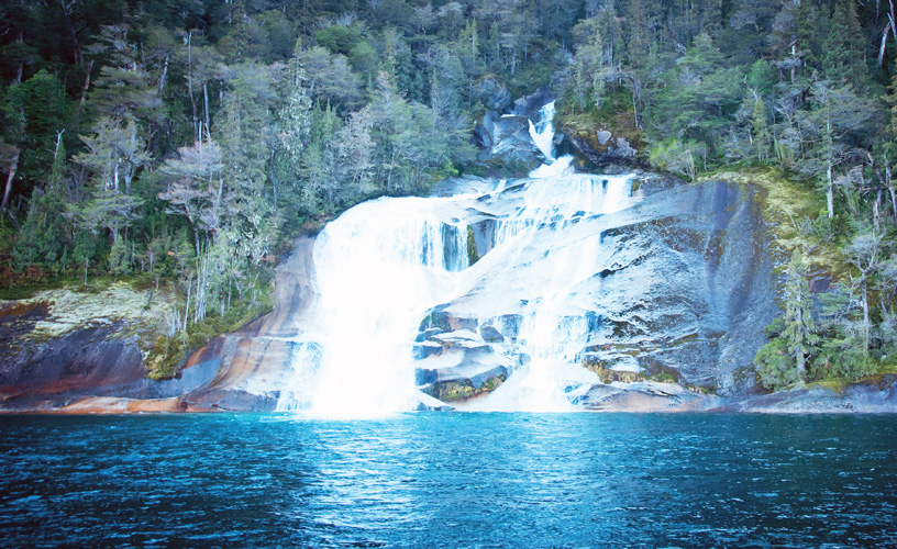
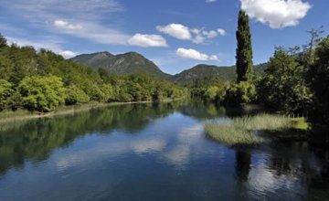
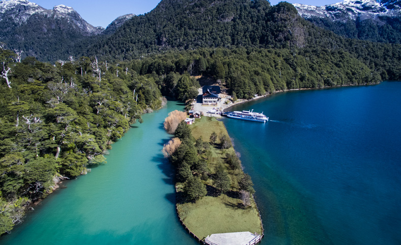
The lagoon Cántaros
The humid atmosphere of this environment fosters the growth of herbs, moss and fungi, which complete the evergreen landscape.
A leafy trail opens up here and invites visitors to walk up to Los Cántaros Lagoon, where there is a cascade and Port Blest can be seen on the opposite shore.
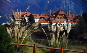
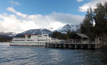
An inn and an interpretation center operate in this place, starting point to reach the Pérez Rosales International Pass.
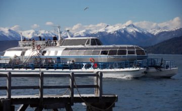
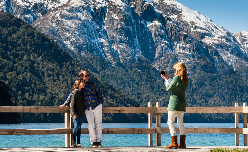
If the idea is to go hiking, an excellent choice is to reach Port Alegre, 3 kilometers ahead, along an easy and picturesque trail. Lake Frías, with an incredible green color, lies here. It may be crossed on a 40-minute tour to the harbor bearing the same name, where the road to Chile starts.
The thick forests of
![]() Karina Jozami
Karina Jozami
![]() Gentileza Turisur
Gentileza Turisur
Contact of the excursion or tour
Turisur
Mitre 219, San Carlos de Bariloche, Río Negro, Agentina
![]() Phone: +54 294-4426109
Phone: +54 294-4426109