Amongst its natural richness, Los Alerces National Park protects one of the largest forests of this magnificent tree: the longest-lived being in the country.
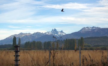
In order to complete our tour around the Parallel 42 shire, we went up to Los Alerces National Park, one of the wildest and most beautiful areas in Patagonia. Not only does it shelter impressive green bluish water mirrors and endangered species, but it also protects the largest forest of ancient alerces in the country.
This park, created in 1937, occupies a surface of 263,000 hectares that spreads Northwest of the Province of Chubut up to the border with Chile.
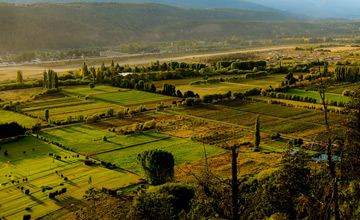
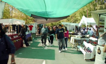
We left from El Bolsón very early and traveled along National Route 258. We passed by El Hoyo and, a few kilometers ahead, we took a detour towards Epuyen and got deeper into the mountain range. After watching the steppe environment that spans between the Leleque and Cholila Mountain Ranges, we headed towards Lake Pellegrini up to the District of Cholila, precisely.
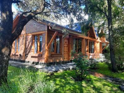
Faithful to its Mapuche name, which means “beautiful valley”, this picturesque spot lodges a small log cabin which used to be dwelled by the legendary American bandits Butch Cassidy, Sundance Kid and Etta Place. We continued walking along the road and entered Villa Lago Rivadavia, a very attractive cattle area located only 4 kilometers from the national park northern portal.
Dreamed of Places
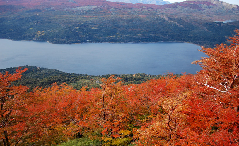
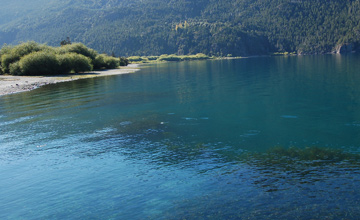
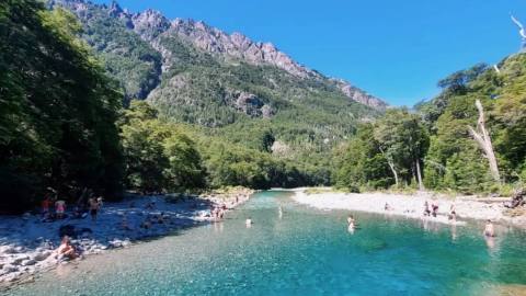
No sooner had we entered the Northern area of the park through Provincial Route 71 –which crosses it up to the South-, than we made out Mount Coronado, named after the first families that inhabited this region. This water body, located by Lake Rivadavia, is part of a large lake system made up by Lakes Menéndez, Futalaufquen, Krüger and the Frey River, which ends at the Futaleufú hydro-electrical dam (Amutui Quimey Reservoir).
These lakes are included in the two large regions preserved by the park: the Patagonian forests and the High Andes.
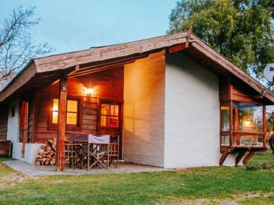
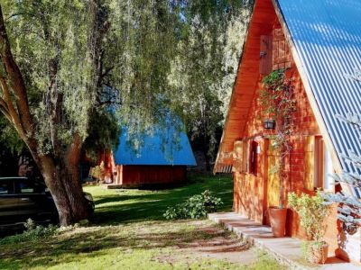
On the shores of the Rivadavia, before reaching the station post, there is a recreational campsite which provides all necessary services to stay in this magical place for a few days.
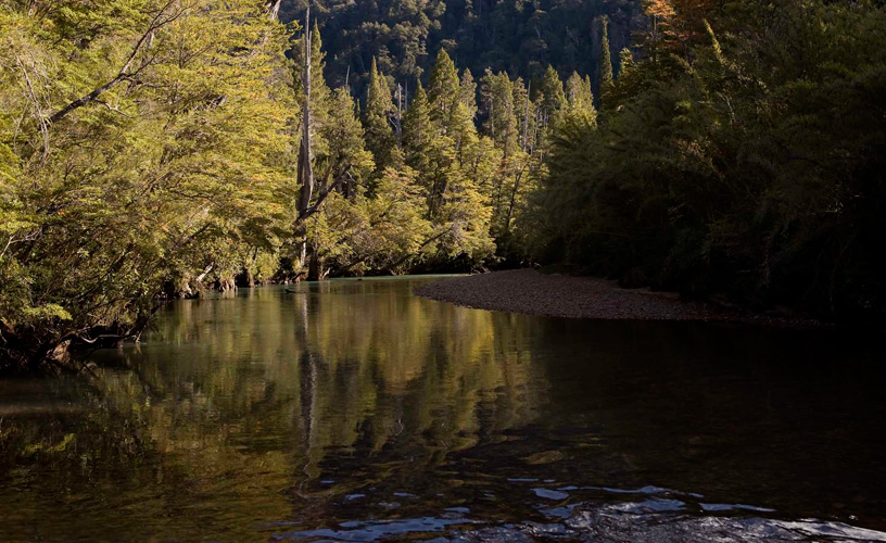
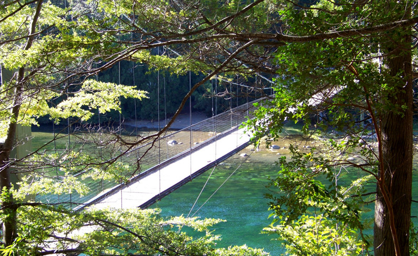
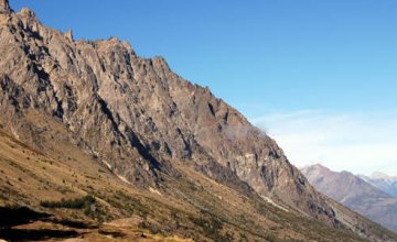
After passing by Solís Bay and going up a pass surrounded by a thick coihue forest, we came to the Rivadavia River, joined to Lake Verde. The latter is connected to Lake Menéndez through the Arrayanes River. At that point, we crossed the footbridge in order to take the trail leading to Port Chucao. This narrowness offers a splendid panoramic view of both water bodies, of the forest and the mountains.
The interpretation trail, perfectly marked with sign posts featuring information about flora and fauna in the reserve, leads to the pier, where visitors get on board a boat to sail across the Menéndez and reach the ancient alerce grove.
Ancient Forest
Beyond these spectacular sceneries, the park has been created in order to protect the lahuán or alerce forests. This magnificent tree, considered sacred, is the longest-lived being in the country. It grows at a rate of 1 mm per year and lives for 3,000 to 4,000 years. It reaches 70 meters of height. Its beautiful red wood is hard and resistant. It was the victim of indiscriminate logging in the past; therefore, the number of specimens has dropped considerably.
Besides the alerce, cypresses, coihues, mañiúes, orange mutisias, red chilcos, lilac virreinas and yellow liutos grow in the park. Cougars, grey foxes, pudúes and huemules, to mention some local wildlife, dwell in the area.
In this opportunity, we could not come close to the alerce forest because the excursion had already departed. We resolved to spend a while on the beach where the fishermen moor their boats. It features an excellent view of Mount Torrecillas and the glacier that covers its top. After having improvised a picnic, we started our way back through the circuit across the vantage points over Lake Verde only to come across the footbridge again. From this area, the road continues bordering the Northern arm of Lake Futalafquen and it presents good views of the Pirámides Mountains. The road leads to Villa Futalafquen, a pretty hamlet with a civic center, magnificent gardens and a tea house in front of the pier. Finally, the central gate –the park entrance from Esquel- is reached.