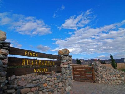
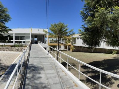
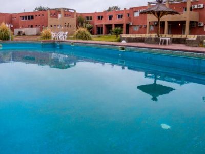
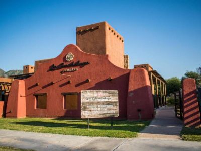
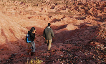
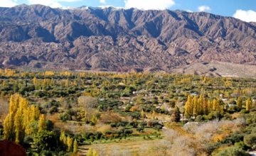
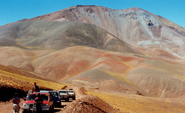
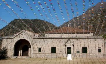
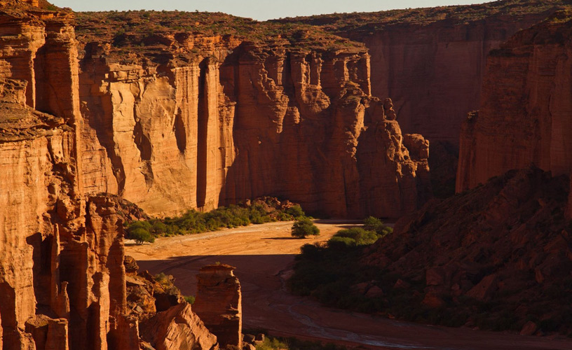
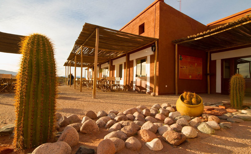
The access to the service area of Talampaya National Park is located at the 148th kilometer marker on National Route 76. The park office is the starting point for the tours that get deep into the canyon and unveil all its secrets. Besides a handicrafts market, there is a restaurant and coffee-house at the access point. There are also restrooms and a campsite that provides lodging to groups that choose the park to spend a few days in order to get to know all the available trails. Talampaya National Park occupies an area of approximately 215 thousand hectares, lying in the southern territory of the Province of La Rioja. It contains vestiges of life in the region millions of years ago. Its reddish and brownish hues take visitors to another world once ruled by dinosaurs and other extinct species.
Visit to Talampaya National Park
-
An inestimable geological treasure
-
215 thousand hectares
-
The entrance to the National Park
-
Take visitors to another world
-
World Heritage
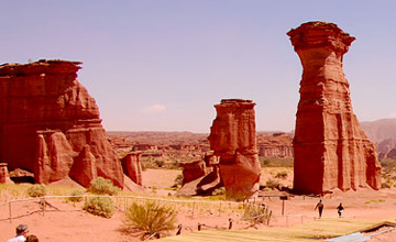
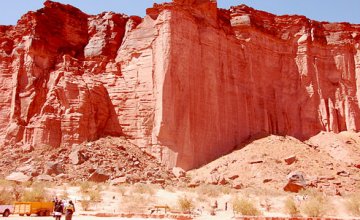
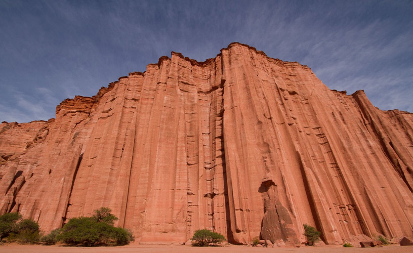
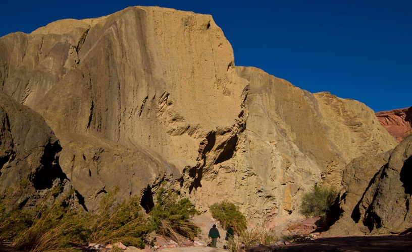
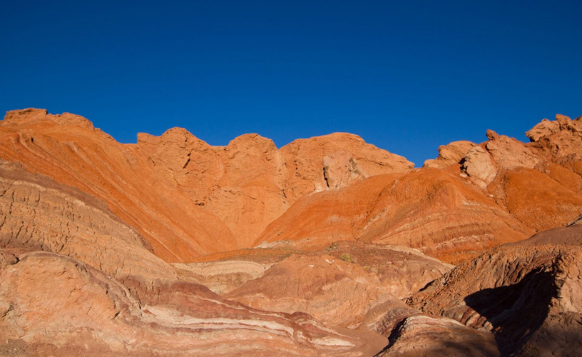
Year after year, over 50 thousand tourists come to this region in Argentina to appreciate the red walls reaching over 150 meters of height, the condors nestling on its peaks and the curious shapes carved in the mountains by erosion. Some of them are el Monje (the Monk) or la Torre (the Tower). Others include el Centinela (the Sentry), el Rey Mago sobre el camello (the Wise Man riding a camel) and Tablero de Ajedrez (the Chessboard).
Erosion is carried out by the wind and the rain. As these mountains are made of dirt and sandstone, many of these natural “sculptures” will disappear as time goes by and other shapes will materialize for men to give them new names.
![]() Pablo Etchevers
Pablo Etchevers
![]() Parques Nacionales - Prensa
Parques Nacionales - Prensa