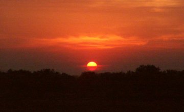
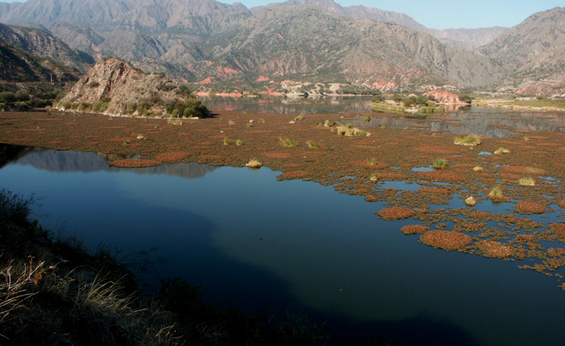
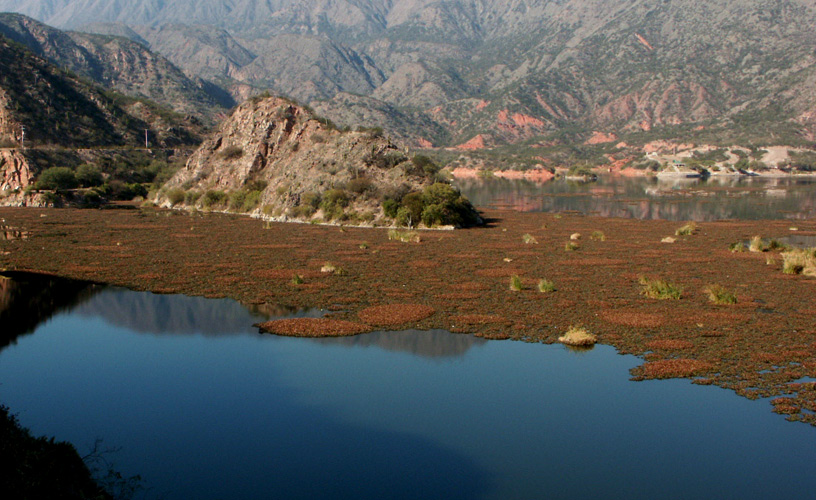
On the top of La Rioja’s mountain range, a blue pond surrounded by a salty plain doubled the upside-down silhouettes of hundreds of pink flamingoes. These birds, guardians of silence, ignored us as we drove along the trail bordering the pond. Framed by snow-capped mountains and gentle slopes, cold winds continuously sway the scarce vegetation made up by some molles and dry golden desert needlegrass. We leisurely walked through an extremely arid environment but very colorful indeed, ready to plunge into an oasis considered as a nature reserve by men. Laguna Brava is a nature reserve created in 1980 for the preservation of vicuñas and guanacos, which were endangered species. This reserve with an area of four thousand and fifty kilometers shelters a series of small ponds temporarily formed by thaw. It is located on the west of the province, four hundred and fifty kilometers away from the capital of the Province of La Rioja and it includes sections of the Districts of Vinchina and Gral. Lamadrid. It was named Laguna Brava because this is the largest pond in the reserve with an area of seventeen kilometers of length and four meters of width. Besides the vicuñas and guanacos, Laguna Brava is a conservation area for a variety of species of ducks, American golden plovers, black-chested buzzard-eagles, falcons, pumas and red foxes.
Tour around the Laguna Brava Nature Reserve
-
An almost hidden paradise
-
At more than four thousand meters in height
-
The calmness of the environment
-
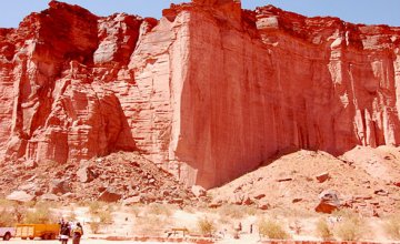
Extremely arid environment but very colorful indeed
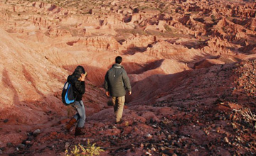
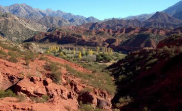
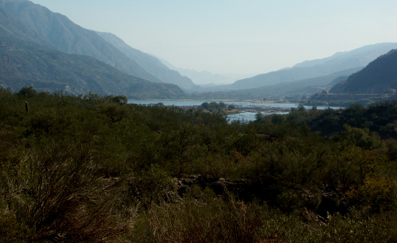
We set out in the morning from Vinchina spot. We drove along the only street in this place and, once we crossed the bridge over the Bermejo River, we reached a labyrinth of bends within the ravine known as Quebrada de la Troya. This is a dirt road accessible by ordinary vehicles. As we drove uphill, the color of the sky and the mountains became more and more vivid.
Due to the height, the sunlight strikes a small portion of the atmosphere and the clear environment may display every brushstroke of this impressive landscape. Behind a bend and on a mountain slope, we discovered the perfect shape of La Pirámide (The Pyramid): this is a bizarre formation carved by rainwater and wind.
This road leads us up to Alto Jagüel, the last spot before going into the vastness of the mountain range. At this site, the main street –which in summer turns into a real river formed by thaw– is a deep path between two soil ravines, where a village is settled down.
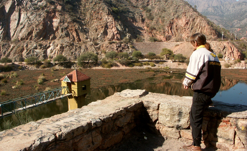
We stopped our vehicle at the municipal building in Alto Jagüel in search of a park ranger, who shared this adventure with us. He is a resident who works as a guide and registers visitors to this reserve.
From such spot, the road goes ahead along the Santo Domingo Ravine through gentle slopes which seem to be upholstered with blue, green, violet, brown and orange velvet. From time to time, the graceful race of guanacos and vicuñas on deserted slopes interrupted the stillness of stones.
![]() Sandra Bonetto
Sandra Bonetto
![]() Marcelo Sola
Marcelo Sola