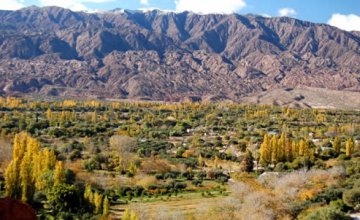
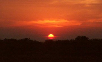
We left the capital of La Rioja heading South along Route 38 up to the District of Patquía, where we turned West towards Chilecito. The cloudless fresh morning forecast that it would be an ideal day to visit the famous Cuesta de Miranda, a place promising to show us large cliffs featuring whimsical shapes and intense red shades. As we got closer to the pre-Andean highlands, we spotted the mountain range known as Los Colorados (the Red Ones). As we reached Chilecito, the vastness of Mount Famatina caught our attention. This snow-capped mountain rose as a silent witness of our visit to this place. The contrast of its white snow summits, the blue sky and the other mountains teeming with green is a perfect postcard to print in our retinas.
Uphill
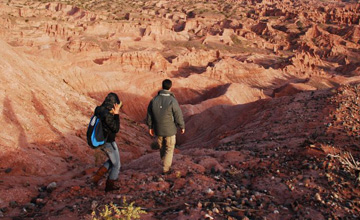
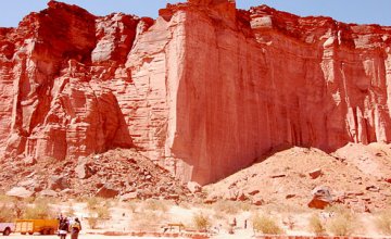
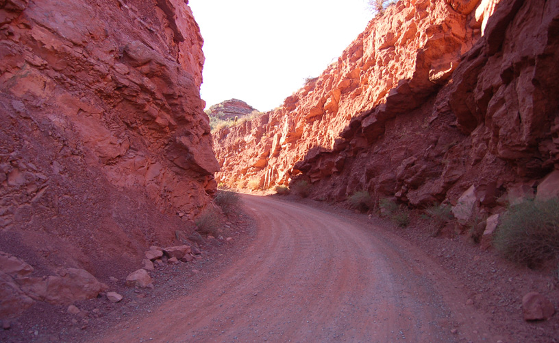
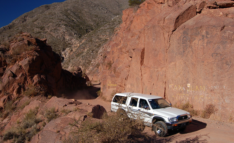
To the Southwest of La Rioja, we find a cornice road with impressive outcrops of an intense red. We visited Cuesta de Miranda.
-
Impressive outcrops of an intense red
-
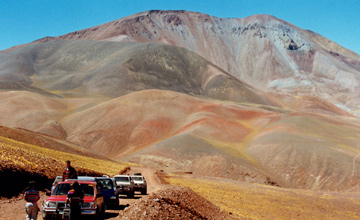
It is a different geologic formation
-
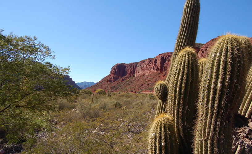
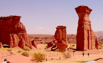
Cardons pointing at the sky
-
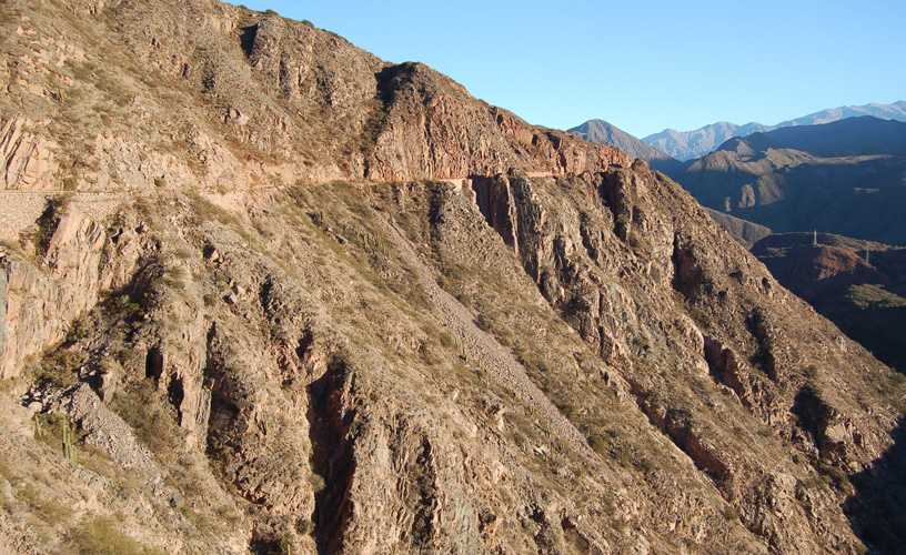
The precipices were over three hundred meters high
-
To the Southwest of La Rioja
We left Chilecito and took mythical Route 40. Through the truck window we could see the town of Nonogasta (“town of the breasts”) and Sañogasta (”town of clay” in the Canano tongue) in the background. We found out that the remarkable jurist Joaquín V. González was born in Nonogasta. To the side of the road, we found some jarillas, gorse, chañares and algarrobos scattered around the nearby fields. Farther ahead, there were the first cardons pointing at the sky like accusing fingers while the Miranda River showed us the way. A historical site known as “La Pelea” (the Fight) is located there, where José Linares was beaten in combat by Colonel Felipe Varela in one of the riots between unitarios and federales.
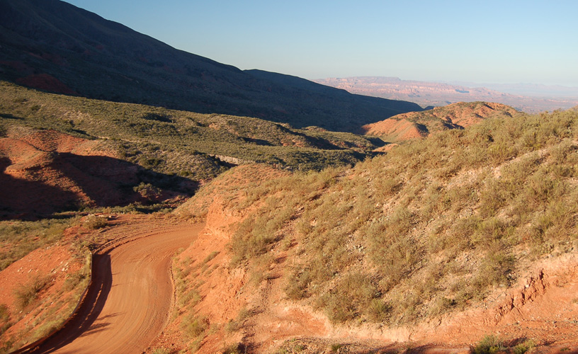
We headed forward. We could see two hills around us and our imagination let us see the Sleeping Indian on one of the mountains on the way.
![]() Marcelo Sola
Marcelo Sola
![]() Marcelo Sola
Marcelo Sola
Contact of the excursion or tour
Inka Ñan Turismo
Leovino Martínez 49, Chilecito, La Rioja, Agentina
![]() Phone: +54 3825-423641
Phone: +54 3825-423641 ![]() Cell phone: +54 3825-671933
Cell phone: +54 3825-671933