Tandil

Tandil - Photos : Turism Tandil
Tandil - Photos : Turism Tandil
With the tinges of a city that has not lost the spirit of a village, Tandil mingles with the wild scenery outlined by mountain ranges, valleys, streams and ancient forests. hese charming landscapes captivate tourism coming from all the corners of the country and visitors staying at its wide array of accommodation venues.
In the Southeast of the Province of Buenos Aires, Tandil lies within the area of the humid pampas in the orographic system of Tandilia, which crosses the scene in a Northwest to Southeast direction.
The main feature of the region is the low mountain range that makes up an ideal landscape 179 meters above sea level. Tandil is settled within an irregular frame that occupies approximately 50 km ², where the valleys spread from the mountains towards the plains up to the Salado River area.
The weather is humid and, in the winter, it experiments an increase in rainfalls over the eastern hillsides. The average annual temperature is 14º C, with maximum average temperatures of 20º C and minimum 8º C. The coldest months are June, July and August.
Countless tourists visit the famous spot called "El Calvario" during the Easter holidays, and the Independencia park, Mount Centinela, the dam and the El Tigre Mountain Range are the attractions summoning most visitors in Tandil.
As a result of the wild environment, the city and its surroundings are an ideal site for adventure travel, which is manifested in the practice of paragliding, hanggliding, horse-riding, hiking, mountain biking, quad riding, mountaineering and kayaking. The various alternatives proposed by Tandil turn the city into a postcard to the eyes of visitors.
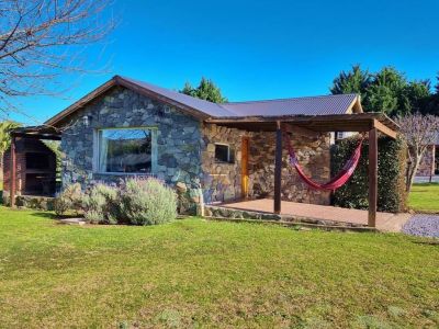
3-star Cabins
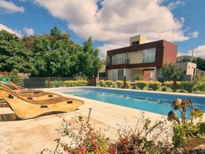
2-star Cabins

Hostelries

4-star Cabins
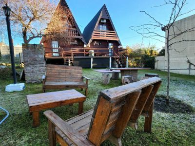
2-star Cabins

Terminos y condiciones
Contacto