The highest route in America crosses the Acay Dale, higher than the tallest peak in Europe -Mont Blanc, in the Swiss Alps. Near the Acay snow-capped mountains, whose summits reach 5,716 meters of height, we explored the puna, the pure blue in its skies and the golden in its mounts.
Before traveling to Salta, Frank had invited us to see the snow-capped mountains of Acay, a new Movitrack ride. Going through the puna with them once more promised to be an excellent adventure. Therefore, no sooner had we reached the city than we made all the arrangements with Carola to make the excursion.
As usual, we had to get up early in order to be at the office at 5 in the morning. Once there, we met Helena and Carlos, who were going to be our guides, and we met Matías and Ana, a couple from Mexico, who would go on the excursion with us.
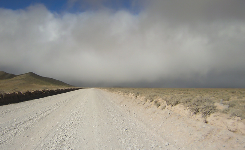
It was not yet daylight when we left on the 4 x 4 heading for Acay. First along National Route 68 and then along National Route 51, we traveled the same road as the safari, crossing Cerrillos, La Merced, Campo Quijano and other drowsy settlements until we entered the El Toro Ravine.
The Santa Rosa Enigma
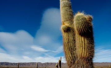
To both sides of the ravine, the cardons showed off their white flowers and the aroma of palam palam (a very toxic plant used as hallucinogen whose leaves have a healing power) is delicately perceived in the air.
We stopped at El Alizal and Chorillos to watch the engineering works in the C14 branch, the curls and zigzags that enable the Train to the Clouds to climb several meters in a few kilometers.
At around 9, we stopped at Santa Rosa de Tastil to have breakfast. The past of this small town, anteroom of the puna, keeps fascinating me.
I wanted to enter the Archeological Museum again, where pre-Incan finds have been exhibited since 1978, such as the 600-year-old mummy from the Hombre Muerto salt deposit.
Elda, who has been a guide at the museum for more than 10 years, began to play a tune in the lithophone displayed in the museum. This musical instrument is made up by local stones, which sound as you hit them due to their concentration of quartz. “Tastil” means rock that sounds.
Towards the Sacred Mountain
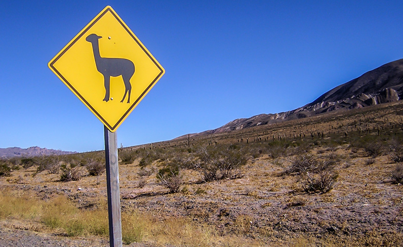
Coffee, croissants and we resumed our journey towards the Acay mountain range. We were entering the Las Cuevas Ravine and the sun would shine on the pure blue of the puna sky, making contrast with the terracotta and yellow shades of the mountains. As we climbed, I began to feel the effect of the height. I must admit that I was unwise, as I was writing on the truck and, when we made a stop to observe a herd of llamas, I thought I had no air to breathe. It is better to follow the locals' advice and have a coca tea or begin to chew coca before entering the puna. But it was late when I remembered their advice and I took a while to recover from the altitude sickness. As we advanced, the llamas and vicuñas, unquestionable queens of the heights, would escort us. We also saw lots of chinchillas running to hide in their burrows.
In Abra Blanca, we reached 4,080 meters of height and from there we could spot the Llullaillaico Volcano and the Chañi snow-capped mountains. Both formations, along with the Acay -5,716 metros over sea level-, are considered sacred mountains as the Indian cultures chose those spots to build sanctuaries of the heights.
The roads we were traveling were the same roads outlined by the Incas in the XI century, part of a fantastic network with more than 2,500 kilometers of length which would allow the consolidation of their empire.
On the Top
National Route 51 led us to the Muñano train station, where we took a detour towards the South along Route 40. Some more kilometers and we reached the 4,897 meters of height at the Acay Dale, our topmost point.
This dale is a milestone in the heights that acts as a hinge between the plains of the puna and those of the Calchaquí Valley. Thawing waters descend along the Southern wall of the Acay snow-capped mountain, and give shape to the Calchaquí River, which basin is the longest in the country, as it empties into the Juramento and then becomes the Salado River.
The route was built in the 1960s, following the old Incan roads, and the slopes of the mount had to be skirted in order to link the puna with the Calchaquí valleys.
We would descend 2,000 meters altogether in order to travel 79 km heading for La Poma.
On the way, we came across Juana, who lives with her mother in a small house among the hills. She was heading for the nearest town to sell her goat cheese.
Eulogia Tapia's Town
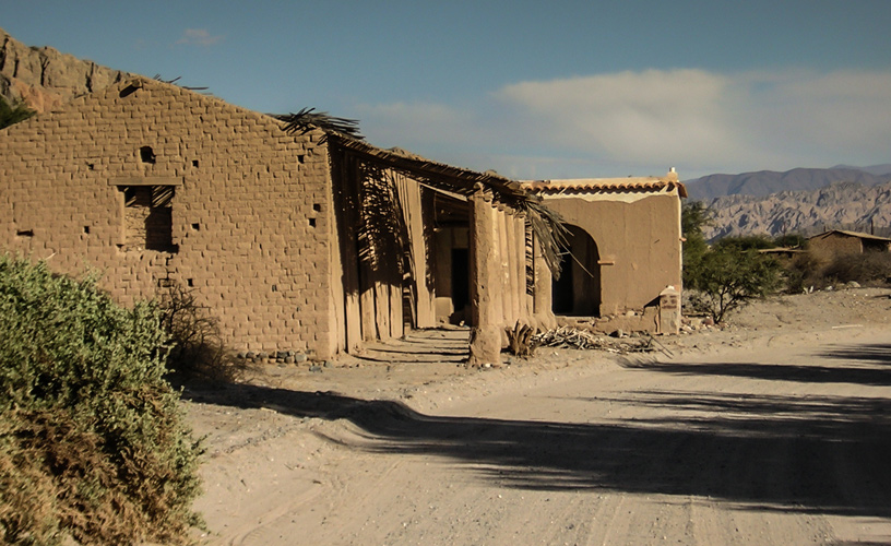
We entered La Poma through the Pueblo Viejo (old town), destroyed by the implacable earthquake of Christmas' Eve in 1930. An alley framed by two 500-meter-long dry-adobe walls borders part of the hamlet, which was rebuilt. But most of the dwellers of this town have moved one kilometer away, by the Peña River.
This is the land of doña Eulogia Tapia, to whom the poet Manuel Castilla and Cuchi Leguizamón have dedicated the song born out of the La Poma carnivals. “The earth breeds us and the earth eats us” would sentence 67-year-old Eulogia; and that happened in La Poma, but neither the earthquake nor time could beat its charm.
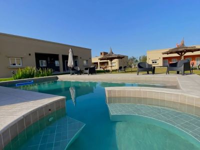
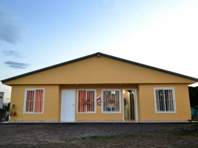
Back at the inn, we were welcomed by Aida and Juan for lunch. After a delicious regional provoleta and the traditional empanadas, Juan invited us with some tea made with rose petals, orange skin, coca leaves, muña muña and rica rica, all of them medicine weeds growing 3,000 meters of height. The beverage was almost magical and, just right after having effect, my physical shape would not even remember altitude sickness.
On the Way to Cachi
It was hard for us to set out for Cachi after the siesta. When we left, we made out the one-hundred-thousand-year-old twin volcanoes from the Cuaternarian Period. These volcanoes have basaltic lavas that caused the tamponage of the river and gave shape to temporary lakes.
We took a detour to see Los Graneros, a cave with circular and rectangular silos that are supposed to have been built by the Incas to stock up corn.
When we went back to the road, we left the outskirts of La Poma behind towards Cachi. We only stopped for a moment to appreciate the sun setting on the Encantado Valley.
We traveled around 500 km. We had not yet reached the city of Salta when I began to miss the ever-blue skies and the sceneries of the puna.