Volcanic cones and a vast flood basalt structure of various shades make up a surprising landscape when visiting La Payunia Provincial Reserve. Discover it with us.
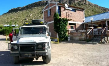
We were surprised by the warm and timid sunshine in the morning of Malargüe. The shuttle was taking us southwards along Route 40. Our destination was La Payunia provincial reserve, a unique place in the world as it features one of the areas with the highest concentration of volcanoes on the planet. A real book in the open sky as far as vulcanology is concerned. Over 800 volcanoes and around 1,000 volcanic cones amidst a landscape covered in black lava are part of the scenery we were about to visit.
The idea of being surrounded by volcanoes generated a great feeling of enigma in all of us. It was hard to imagine that strange formation of pure basalt where a long time ago there were infinite tremors, lit rocks and smell of sulfur.
We soon left Chihuio Slope behind, a site featuring high paleontological and archeological interest. We began to cross the Huarpes Depression. To the West, we spotted the main mountain range and some kilometers ahead, we observed the clearing of the Laguna de Llancanelo Provincial Reserve, measuring 50 kilometers of length and 10 of width where countless birds such as flamingoes, coscoroba swans, plovers and more than 30 varieties of ducks gather around.
Route 40 now became a gravel road and we started to cross the area known as “Mendoza’s Patagonia”. We saw some sea sedimentary rocks on the way and Mount Palal Mahuida – “Striped hill” in the Mapuche tongue– caught our eye with its multiple and colorful sediments. We left the small town of Bardas Blancas behind feeling an outburst of eagerness to see Payunia.
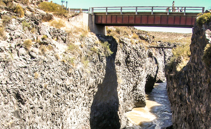
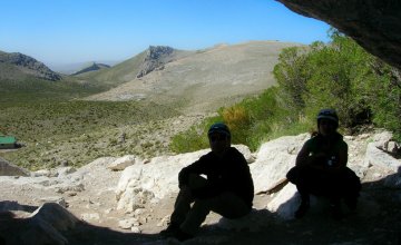
Our first stop was at La Pasarela (the footbridge), where we could see a little prelude of what was about to come. A deep ravine carved by a meltdown river let us spy on part of the topography we would soon be crossing.
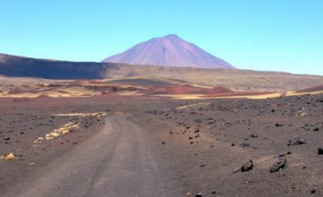
We rode along and abandoned Route 40 to take Route 181 towards the East. We soon were crossing a region of great contrasts, with dark pampas and reddish hills of various shapes formed in the late Tertiary period. We were amazed at the endless flood basalt structure we were stepping on. “Payunia” derives from the Pehuenche word “payen”, which means “place where there is copper”. A road sign indicated that we were already in the reserve and we paid much attention to our guide.
Fields of basalt and pyroclastic rocks of various colors printed a singular kind of beauty on the area. This place attracts countless native species, among which we could spot guanacos, choiques, piches and lizards.
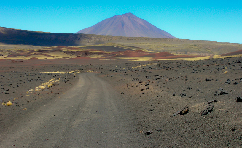
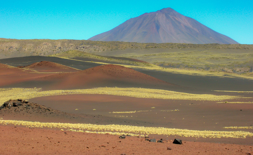
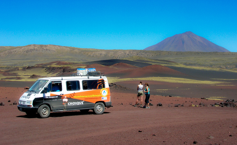
Our shuttle led us to Campo de Bombas (Field of Bombs) –pieces of lava that rolled from the craters in liquid state- and by then the landscape had already become surreal. We had the impression of being on another planet. In the distance, we spotted the majestic Payún Matrú and Payún Liso Volcanoes, standing out from the rest due to their impressive height.
Our guide explained everything about this strange formation and we shuddered as we listened to his words. “Payún Matrú Volcano is 3,691 meters high and very young in geological terms: it is approximately 300 thousand years old. It has had several multiple and complex eruptions. Therefore, the formation of lava fields of various quaternary ages may be observed around it. In addition to these formations, there are other volcanic components, such as pyroclastic rocks of various sizes referred to as bombs, lapilli and volcanic ashes”, our host informed.
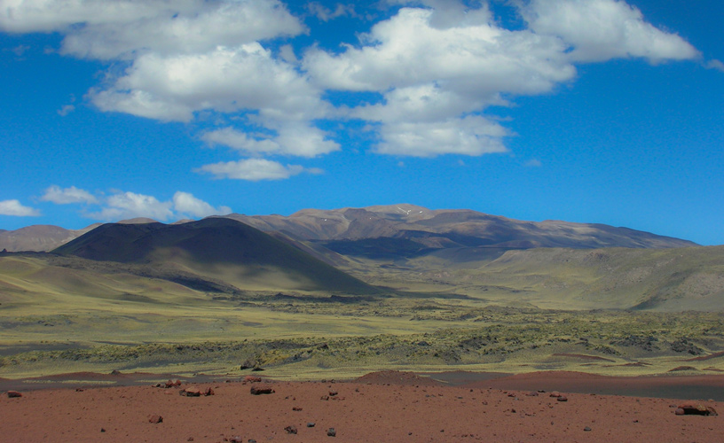
We got off the vehicle in order to go on a hiking tour up to the mouth of the Colorado Volcano crater. We observed Santa María Volcano in silence. Its 17-kilometer-long basalt field is known Escorial de la Media Luna (Half-moon basalt field). In a different direction, we saw the Herradura Volcano, whose name means horseshoe in Spanish, so called due to its shape. It is surrounded by small cones of lilac and blue shades.
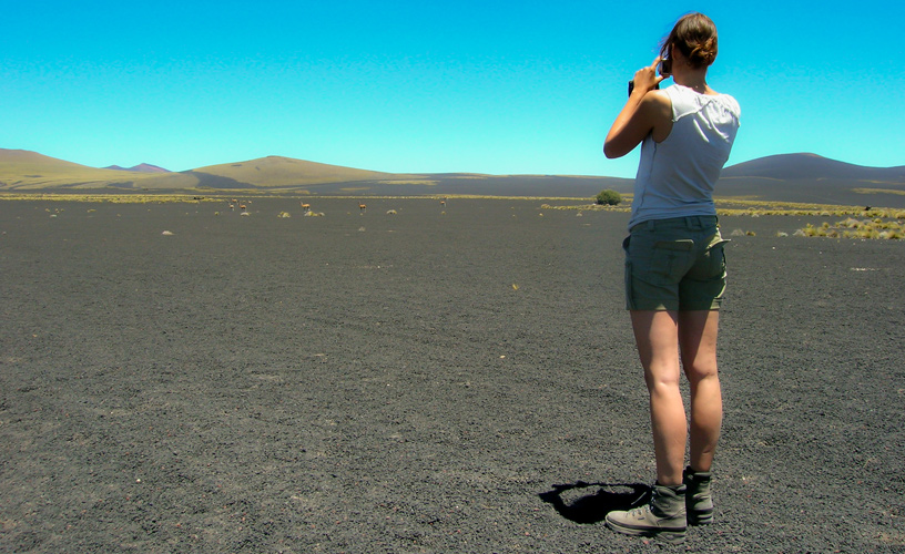
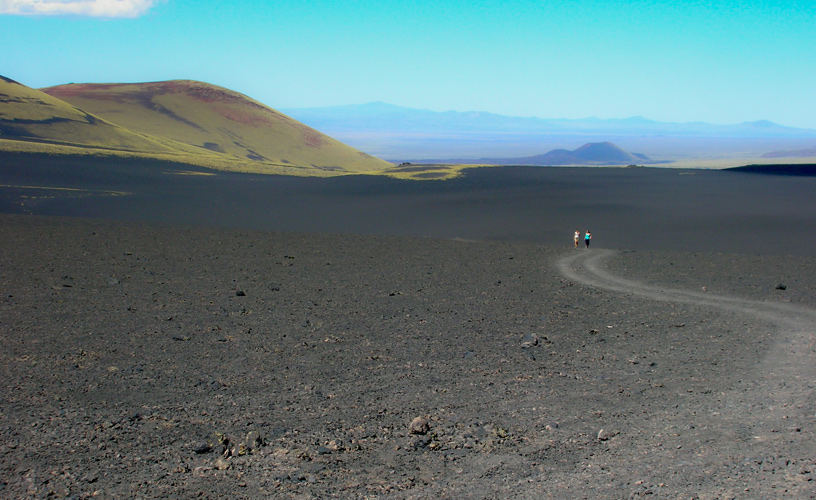
We went up tirelessly to the border of the crater. The impressive scenery spread before our sight as we were trying to capture photographic images of that moment.
This natural reserve attracts geologists and vulcanologists from all over the world who assert that such a landscape may only be found in Iceland, Hawai or maybe even Mars.
After touring around the region and hallucinating about we had just witnessed, the shuttle set out back to town. Undoubtedly, La Payunia will always remain in our memories as one of the strangest and most spectacular sceneries we have ever seen.
When touring around Malargüe, do not hesitate to go on this expedition that reflects the moment when the fury of the volcanoes changed our planet.