Zapala
 Zapala - Photos: Jorge González
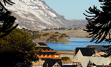
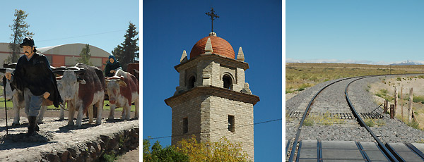
 The main feature of the City of Zapala is that it acts as a liaison among the most appreciated tourist circuits in the Province of Neuquén. Located in its center, it is the transition area between the Patagonian steppe and the Andes. It is accompanied by the Chachil Mountain Range, which encloses splendid valleys.
It is characterized by a dry, windy harsh climate, both in the summer and the winter, as its temperatures are usually extreme. It lies at a height of 1,012 meters MSL and it has xerophilous and scarce vegetation. Its name comes from the mapudungun tongue, used by the Mapuche people and it stands for "mortal swamp".
National Routes 22 and 40 converge in the city, where Provincial Routes 13, 14, 16 and 46 start and give shape to a significant communication grid.
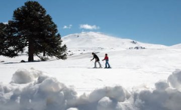
To quote some of the tourist corridors starting at Zapala, the so-called Portal del Pehuén is accessed towards the northwest. There lies Copahue, the best known hot spring center in the country due to the properties of its waters. Likewise, Caviahue and Primeros Pinos ski resorts are located in the same area and boast ancient monkey-puzzle tree woodlands. Lake corridors of great relevance for international tourism, such as Junín de los Andes, San Martín de los Andes, Villa Pehuenia, Aluminé and Caviahue are also accessed from Zapala.
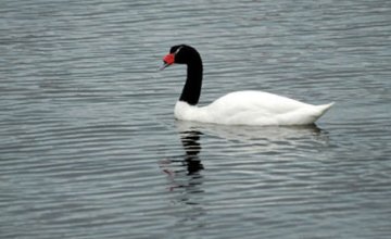
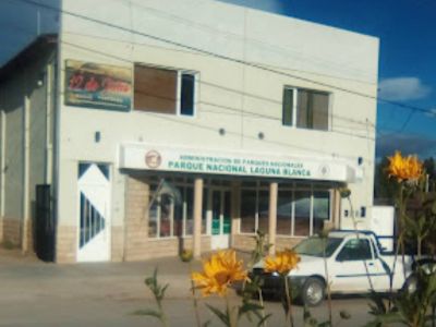
Another interesting choice is to discover Laguna Blanca National Park, just 30 kilometers away from Zapala. Its wetlands shelter a great deal of birds and diverse aquatic and land life species: an ideal site for a photographic safari.
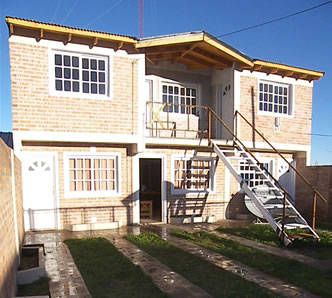
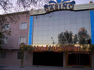
The gastronomic and accommodation offers have increased in the last few years due to the intense tourist activity generated by the routes reaching Zapala from the East of the country. This includes the opening of a casino and several provincial and national long-distance bus lines connecting the district with other locations.
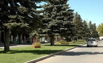
Zapala has a commercial and cultural life of its own. Mining is its main source of income, as there is a cement factory, a lime factory, mineral mills, venues where red ceramic tiles are made and crazy paving is cut.
In the near future, Zapala will be a relevant point in the Atlantic-Pacific corridor that will join the ports of Bahía Blanca, San Antonio Este and Ingeniero White with the Chilean ports of Talcahuano, Valdivia, Corral, Valparaíso and Puerto Montt.
Zapala is a city with history but also with a future resulting from the spirit of its people and the capacity of generating tourist and commercial strategies that will contribute to its prestige.
Hotels and accommodations 12 Hotels and accommodations
-
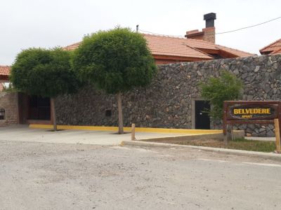
Vacation Rental Homes
-

-
-
-
-
-
-
-