Piedra del Águila
 Piedra del Águila - Photos: 1 y 3. Jorge González / 2. Pablo Etchevers
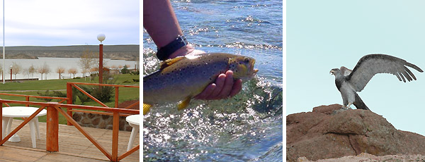
 History goes that Piedra del Águila owes its name to the presence of large birds nestling in the hills near the village, more precisely in the heights of the strange rock formations, carved and eroded by the wind.
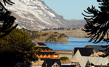
Piedra del Águila is accessed through Route 237, after getting past Villa El Chocón. This small town is the starting point for the so-called corredor de Los Lagos (The Lakes Corridor). The rock formations and the ruling vegetation gradually give way to the Andean flora.
The hills display the change of the high plateau into the mountain range, giving a preview of the typical scenery that will remain forever in the recollection of visitors.
Birds like black vultures and chimangos break the silence that gives evidence of the loneliness of the desert, where the rusticity of the landscape and the geologic memory suggest the mineral richness that emerges among reed beds and gravel.
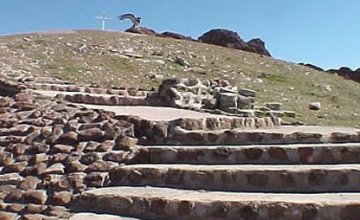
In the surroundings, the modern energetic facilities outline a scene together with the vestiges of old fortresses, images forever drawn by the guanaco flocks and the dust clouds left by rheas on the run.
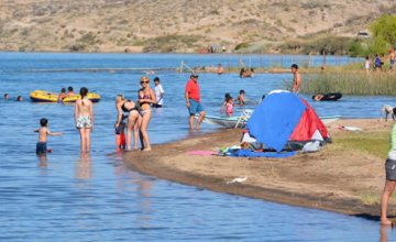
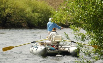
Today, as a result of the creation of reservoirs and dams, this part of the Limay River course, known as Medio, is the cradle of trout fishing, ideal for fly-casting and light spinning.
Lucky anglers will catch brown trout specimens weighing up to 5 kilos, rainbow trout of up to 3 and native species like perch. Besides, boat fishing may be practiced at the reservoir near this small city.
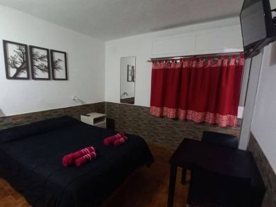
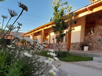
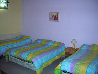
Hotels and accommodations 11 Hotels and accommodations
-
Hotels
-

Apartments
-
Hostelries
-

-
-
-
-
-