There are two park ranger stations inside Talampaya National Park which act as accesses. Gualo station lies on the Gualo River, on the 134th km marker on National Route 76, 500 meters away from the Lost City information office.
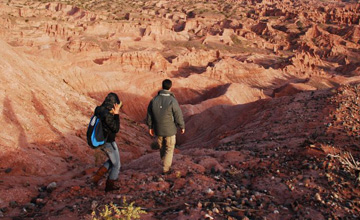
It is necessary to hire an official guide at the access to the famous Lost City in order to take a tour around it. These outings may be done on ATVs and take from 3 to 4 hours, according to weather conditions and the wishes of each group.
Those who choose to take the tour on their own 4WD must also hire the services of the guides to avoid getting lost, as the size of the park is quite big.
Visit to the Lost City at Talampaya National Park
Visiting the Lost City and the Rainbow Canyon is one of the favorite tours inside Talampaya National Park.
-
Natural heritage of Humanity
-
A unique natural environment
-
It is necessary to hire an official guide
-
Archaeological Heritage of Prehispanic Cultures
The tour is relatively short. Riders take a detour towards the left 3km away from the starting point. They get into a trail made of red soil that leads to one of the least known areas in the park.
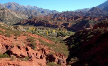
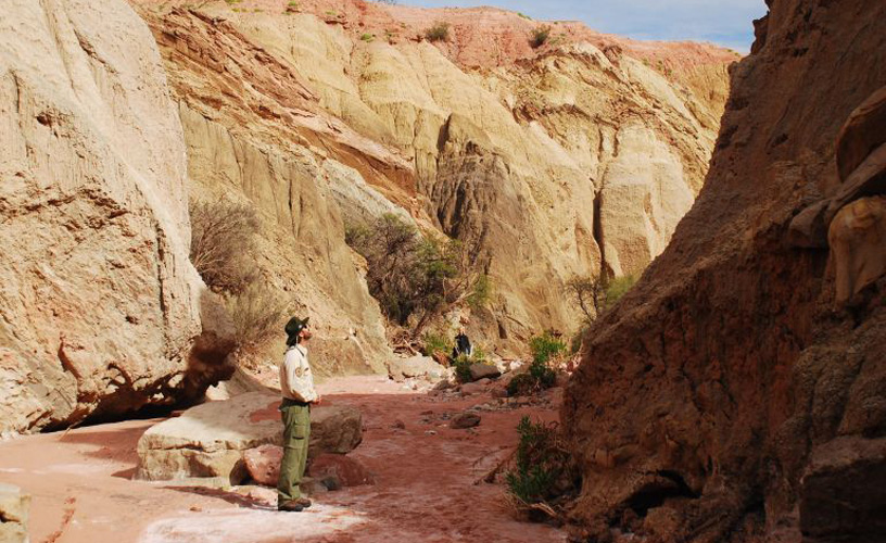
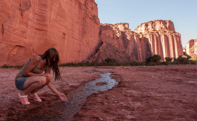
The winding road crosses this desert that used to be a tropical forest with large ponds and lush native wildlife 225 million years ago, according to what our guide told us. The truck went across a dry bed, in this case of the Guabo River, which creates a true highway made of sand and measuring two kilometers of length.
“Talampaya” stands for “tala’s dry river”. The name with which the native peoples referred to the area gives evidence of the fact that these rivers remain dry during most of the year. They only become rivers again when it rains, which does not happen very often. That is why they are used as paths to reach certain spots.
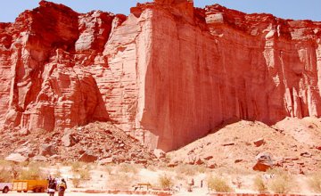
As we headed for the Lost City, we spotted a reddish formation popularly known as Los Chapares in the distance. It is part of the Ischigualasto basin, which has been declared World Heritage by UNESCO.
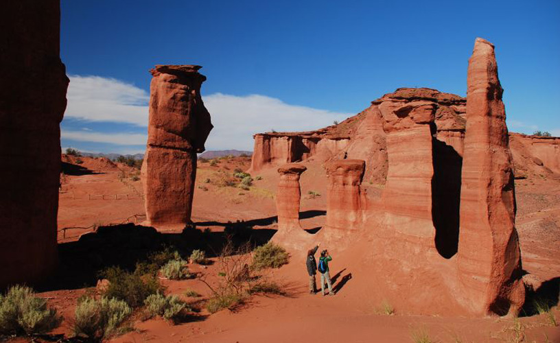
After traveling 15 kilometers more along the dry bed, we parked the truck in the shade of an old carob tree. It was then when we started walking. After a short hike, we reached the highest point on the road and an unexpected crater opened up before us level with the ground. Its three-kilometer diameter shelters what is known as the Lost City.
Just like Borges described it: “At the foot of the mountain, an impure stream spread noiselessly, clogged with debris and sand; on the opposite bank shone the evident City of the Immortals”.
Some old settlers, the older ones, claim that Borges was there. Others assure he was not. However, the words of reporters specialized in tourism reached the magnificent writer in those days and he took into consideration that scenery to talk about the City of the Immortals.
Amazed at the unexpected discovery, we made ourselves comfortable at a natural viewpoint to observe the panorama from the border of the crater, which in fact is a giant depression formed by techtonic moves that made the ground sink.
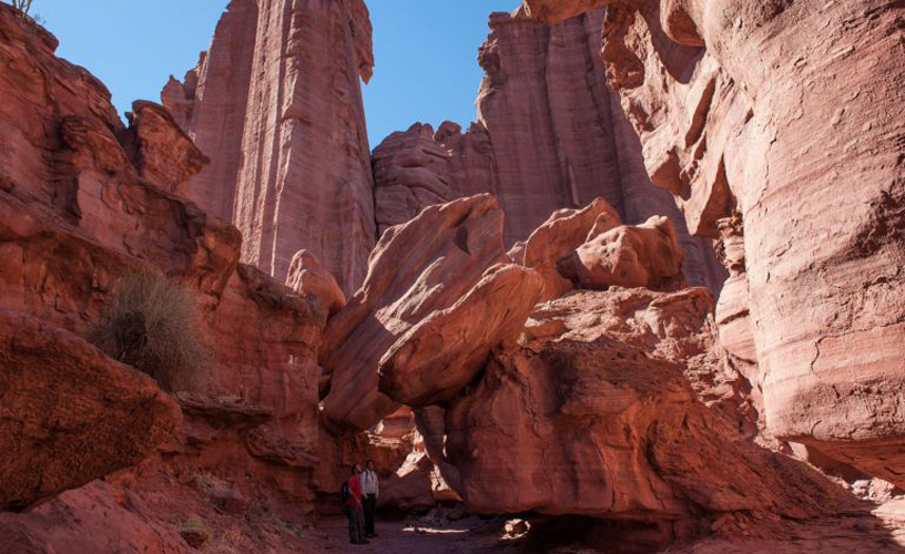
Hard to describe, a complex labyrinth of sand chambers and formations unfolded beneath us. They resembled the remains of a ghost city destroyed by a meteor shower.
In its center, the Lost City boasts a dark basaltic formation shaped as an almost perfect pyramid called Mogote Negro (Black Hillock) .
![]() Pablo Etchevers
Pablo Etchevers ![]() Gentileza Turismolarioja.gov.ar
Gentileza Turismolarioja.gov.ar
Contact of the excursion or tour
Parque Nacional Talampaya
San Martín s/n - Villa Unión, La Rioja, La Rioja, Agentina
![]() Phone: +54 3825-470356
Phone: +54 3825-470356
The total distance to be covered is 230 kilometers.